


The Big Hurt
- B-Line Bruce Hiscock
- Feb 19, 2018
- 6 min read


Activity Description
Adventure Mountain Biking
Location
Flinders – Goolman Conservation Estate
Hardings Paddock Picnic Area – Flinders Plum Picnic Area
Getting There
Hardings Paddock 15km (20 mins drive) from Ipswich City centre. Travel along the Ipswich Boonah Road (off the Cunningham Highway) to Carmichael’s Road and continue to the end to reach Hardings Paddock
Flinders Plum 25km (30 mins drive) from Ipswich City centre. Travel along the Ipswich Boonah Road (off the Cunningham Highway) to Mount Flinders Road and continue right to the end of the gravel section of road to reach Flinders Plum.
Park Features
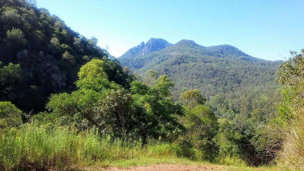
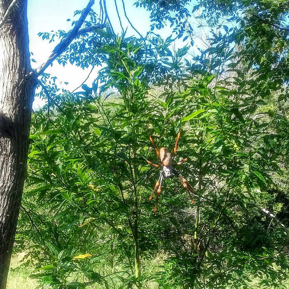
Nature and conservation The Flinders - Goolman Conservation Estate contains unique ecosystems and species associated with the weathered remnants of once mighty mountain peaks. This area is home to some of Ipswich’s most threatened animal species including the peregrine falcon, wedge-tailed eagle and Council’s faunal emblem the brush-tailed rock wallaby. Watch for rock wallabies as you traverse the Flinders Peak Hiking Track and remember to provide any sightings or images to Council to assist with their management
History and culture - This estate remains sacred to the Traditional Owners of Ipswich, the Yagara People, consisting of the Jagera, Yuggera and Ugarapul Clans. Sacred sites are very important to the Traditional Owners, as they provide a link between Country and personal identity and allow the passing on of cultural knowledge. Some of the sacred sites within Ipswich include quarry sites, traditional food resources, story places, precontact and historical camp sites, fighting grounds, ceremonial sites, bora rings and women’s business sites.
Visitors to the Flinders - Goolman Conservation Estate can take in the natural wonders of the area through a range of recreational activities. Opportunities for bird-watching, hiking, mountain bike riding, horse riding, nature study and camping are all provided for your enjoyment. The conservation estate is over 2,200 hectares in area and supports extensive forests and rugged volcanic peaks and slopes including Flinders Peak, Mt Blaine, Mt Catherine and Mt Goolman.
Open: 6.00 am - 6.00 pm
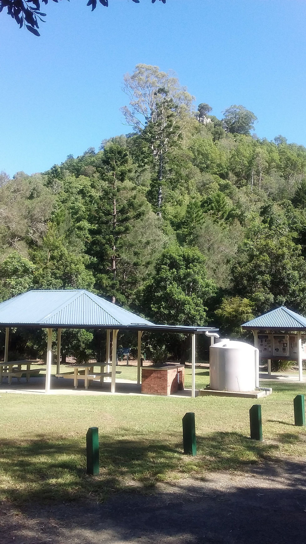
Hardings Paddock and Flinders Plum Picnic Areas are the destination highlights within the conservation estate. The area forms part of the regionally significant Flinders - Karawatha Corridor and is listed on the Register of the National Estate. It acts as an important refuge for wildlife that supports a diverse range of birds, mammals, reptiles and amphibians as well as over 500 different native plant species. www.ipswich.qld.gov.au
Amenities
Hardings Paddock
· BBQs
· Toilets
· Large day use area
· Camping facilities (bookings required)
· BYO drinking water
Flinders Plum
· BBQ
· Toilets
· Picnic area
· BYO drinking water
Tracks and features for cycling and walking
Class 2 track
Easy level track; suitable for all fitness levels; with all junctions sign-posted.
Class 3 track
Moderate level track; suitable for average fitness levels; with junctions sign-posted.
Class 4 track
Moderate level track with rough surfaces; steep inclines and limited signage; suitable for experienced walkers with
experience and average fitness levels.
Class 5 Track
Difficult track level with unmodified ground surface; aligmnent locally indistinct: high level of fitness and high level of specialized outdoor skills and knowledge including navigation required; signage is for management only.
For ease of reading I have included the below table of the trails. This includes trail name, its classification for walking, horse riding and mountain biking, and distances (some are return and some are one way.
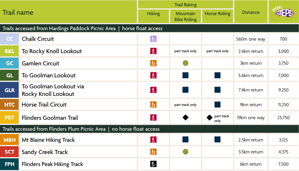
The below table outlines the trail rating system for horse riding and mountain biking.
WARNING!!!!!!!!!!

Before undertaking an adventure activity, realistically consider your group’s fitness level, the trail difficulty rating, weather conditions and the daylight time you have available. It gets hot as hell with the heater on in summer, so, insure you have adequate water (1 litre per hour per person) try to plan your activity for the cool of the early morning, and take enough food and/or energy gels. And know the gradient on the climbs for riding is, VERTICAL.
More information and printable maps can be found at the following link:
Story time
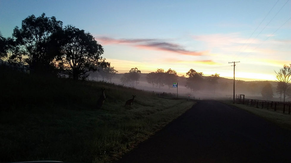
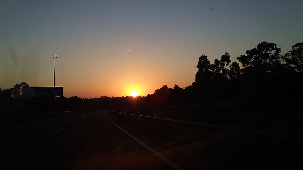
So, I beat the sparrow to the worm for breakfast, 03:45, I was excited to see this new place. I had planned to complete the entire Flinders Goolman Trail of 38 km return. I had a big bowl of cereal and muesli (no eggs for my crapioca, I’ll explain what that is one day). Load the car and off down the highway pumped for my day of riding.
I arrived slightly before sunrise, checking the temp on the car dashboard, wait a minute am I reading that right, 24˚C at 05:30, well it is only 38 km, I should be back at the car in 3 hours, 2 litres of water in the Camelbak, and one 750ml bottle in the rack. Man, I’m pumped, let’s do this.
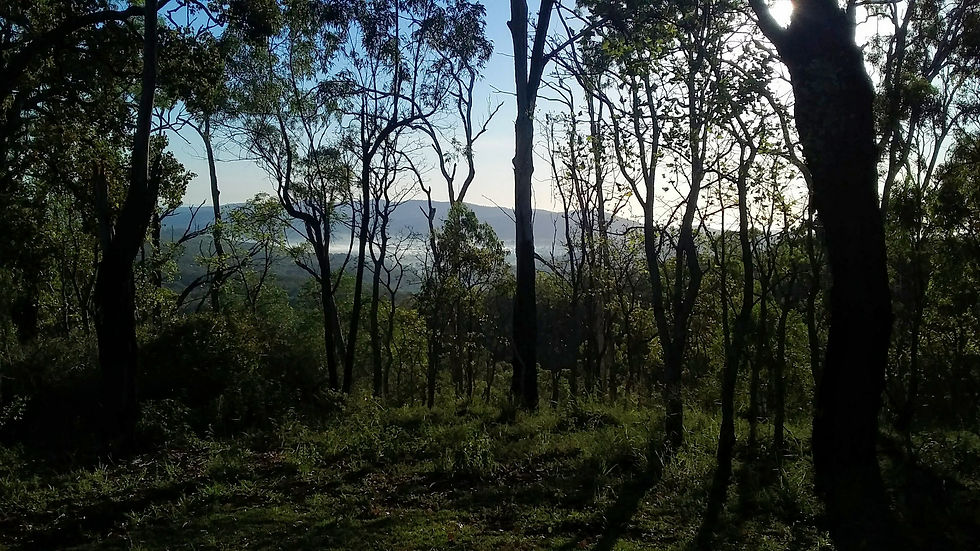
Two minutes into it I take a wrong turn and get lost, no Biggy, I find my way and get going again. Pass through a gate, round a bend and I am faced with the steepest, rockiest, gnarliest vertical wall I have seen in my mountain biking life. Wholly butt pucker. Now, I rode in the 2015 XTerra Tiradentes, Brazil, that was wild, but what the hell is this. Oh well start pushing. I think I have reached the top and am ready to get cruising when I arrive at an intersection, the signage is not all that great, ummmm, just go straight ahead. Then BAM, another kicker from hell, my legs are warm now, so I power on as it gets steeper again until my wheel spins out and I end up pushing for the second time (this turns out to be a reoccurring event throughout this ride). I push the last 20 meters to Goolman Lookout, 302m of pure brutality. I lean my bike against the horse tie off, and place my bag down on the Southern Reticulate Arsesdownes, or bush walkers seat to take some piccies. I come back to sit down on the seat, and what the bloody hell is that burning in my leg, after swatting off the pair of blowflies and get up and to walk around a bit, man my leg is hurting. As I walk back I see something hanging under the seat, what is that? A damn wasp or hornet nest, so, a closer inspection reveals these boys have been at the steroids crossed with meth and are angry as hell. I wait a few minutes to check my reaction, before continuing.
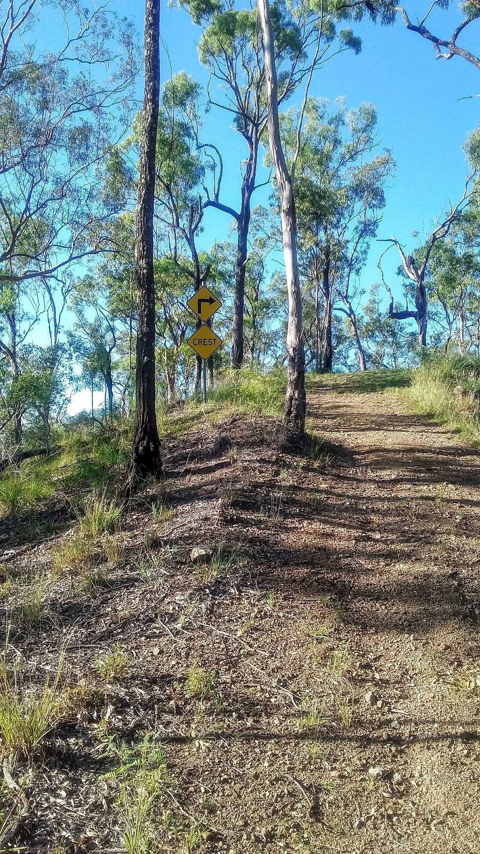
Alright, no bad reaction other than localized pain, on with the ride. A wild decent and I am back at the intersection. I get my bearings and head on. The ride seems to be relatively flat and I make a video about it being a cruisie adventure trail. This false sense of security is shattered by the next, and the next, and the next, and the next massively steep climbs. I stop at the top of one of these hills from hell and check the time, it has taken me 2 hours to ride approximately 12 km. This is not how I imagined it! The heat is really coming on. I have little water and am sweating profusely, like an overweight taxi driver in a cab without AC during summer. Re-plan, I will just make it into Flinders Plum picnic area and go back.
Arriving at Flinders Plum is via a wild decent, that has a warning sign that states, Extreme Caution. While having a ball on the way down it occurs to me, I have to climb this bad boy. So, I have a quick recovery, wring out my shirt and start climbing.
I would love to tell you how I summoned the power of the gods and pedalled all the way to the top, but that would be a lie. I struggled to push my bike back up the hill and need to recover at the top of the hill in the shade, with a light breeze, and this is how I continue the rest of my ride. Pedal uphill until I lose traction, then, push the bike up the hill, recover at the top, then continue.
At the top of one of these monsters I receive a call from my concerned wife. Yes, the hill was high enough to get reception, she is asking, “where are you and what is going wrong, you never take this long to do such a short ride”. I tell her I need to take my time as I am struggling a little. She says, “it is getting hot, you need to hurry”. I stupidly tell her, I am running out of water and need to take it slow because, yes, it is already bloody hot. She freaks out, I tell her not to worry all will be fine.
I get back to the car with one mouthful of hot yukky water to spare. Then I go straight to the nearest petrol stations and purchase an icy cold isotonic drink and scull. Then cruise home to sleep.
Summary
In total, I had ridden only around 30 km. Normally this would have been an easy ride for me. BUT, Flinders Goolman Trail, is one mean mother of a ride, better suited to the keen hiker than the out of form mountain biker. It feels extremely secluded, in fact, I did not pass one other person on any of the trails, for the 5 plus hours I was there.
That aside, the picnic areas of Flinders Plum and Hardings paddock, offer some wonderful facilities, with the real feeling of seclusion and yet so close to a major city, and while the gradient on some of the shorter walks is still pretty heavy, the views from the top are spectacular. You will need to bring drinking water and carry your rubbish out with you.
Warning, it is very important to properly plan your longer treks in this conservation area. It is not for the novice hiker. You have been warned!
B-Line Bruce Hiscock, 19 February 2018


Comments